


|
Country |
The Republic of Kazakhstan |
|
Region |
Almaty |
|
Districts |
Kerbulak and Panfilov |
|
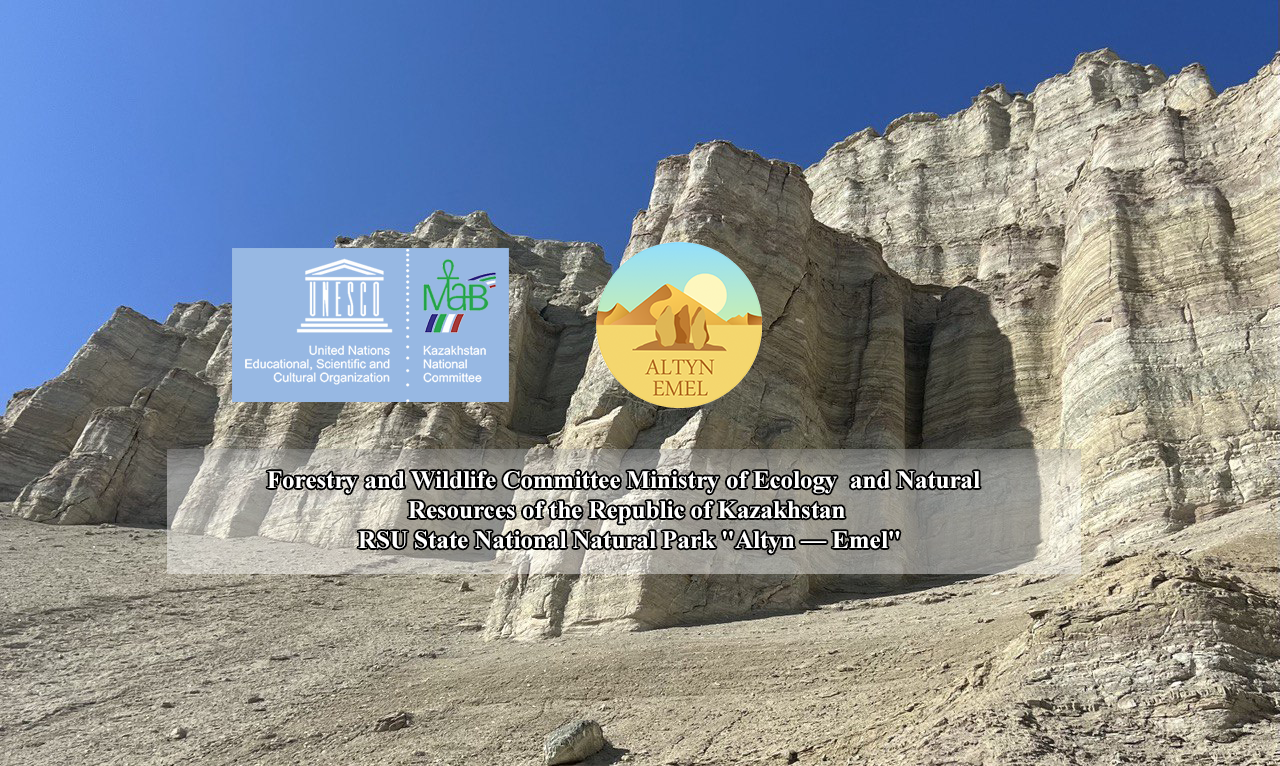
Name of the object |
State national nature Park "Altyn-Emel» |
|
Area, hectares |
The total area including protected zone, 307653 ha |
|
Protected zone, hectares |
62 845 ha |
|
The location of the object |
The national Park is located in ili depression. According to natural physics- geographical zoning, included in the composition of the ili semi-desert region, Or- Balkhash-Alakol desert depression. The Northern border of SNNP "Altyn-Emel» runs along the South-Western spurs of the ridge Altyn-Emel. These are mountain massifs (from the South- West to North-East) Sholak, Degeres, Matai, Altyn-Emel. In the far West the site where the foothills of Sholak almost reach floodplains of the Ili river, leaving a narrow entrance to the valley, serves as its Western border. East the border passes through the floodplain of the river Kokterek, flowing into the Ili river. Part of the coast of Kapchagay reservoirs and part of the floodplain of Ili river with water area form Southern border of the Park |
|
Distance to human settlements |
Central manor SNNP "Altyn-Emel» located in the village of Baschi of Baschi rural region of Kerbulak district, 250 km. from Almaty city, 80 km from the district center Saryozek village, 120 km. from of Zharkent town, 170 km. from regional center - Taldykorgan. |
|
Access |
Asphalt road connects the village Baschi with Almaty, Saryozek village and Zharkent city. From Baschi village on the territory of the national Park there is a network of dirt roads with a length of 450 km |
